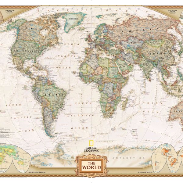
maps
Resources

Easy Peasy History — Geography and Cultures (Levels 1-8)
Found a problem? Check here. We have compiled all of the worksheets used in this course. You can print them yourself or purchase them bound in book form. These are NOT a full offline course, just t…
AmblesideOnline Geography Resources & Scope
Charlotte Mason homeschool curriculum
TED-Ed: Geography Lessons
TED-Ed celebrates the ideas of teachers and students around the world. Discover hundreds of animated lessons, create customized lessons, and share your big ideas.
National Geographic Education Resource Library Search
Search educational experiences to engage with National Geographic Explorers through live events, free maps, videos, interactives, and other resources.
National Geographic MapMaker Interactive Mapping Tool
This collection contains educational resources specifically designed to accompany National Geographic MapMaker, a Geographic Information System (GIS) tool for the classroom, developed by National Geographic and Esri. Maps allow us to find our way, analyze and visualize complex datasets, solve problems, and tell stories. They also facilitate learning. The materials featured here are built on the National Geography Standards and the United Nations Sustainable Development Goals. Today's students need to understand how the world is interconnected and master the geographic competencies and knowledge necessary for sustainably enhancing economic competitiveness, preserving and improving quality of life, sustaining the environment, and ensuring national security.

Encyclopedic Entry: Latitude
Latitude is the measurement of distance north or south of the Equator.

Encyclopedic Entry: Longitude
Longitude is the measurement east or west of the prime meridian.

Encyclopedic Entry: Map
A map is a symbolic representation of selected characteristics of a place, usually drawn on a flat surface.

Geography Standard 1: Maps and Spatial Information
How to use maps and other geographic representations, geospatial technologies, and spatial thinking to understand and communicate information.